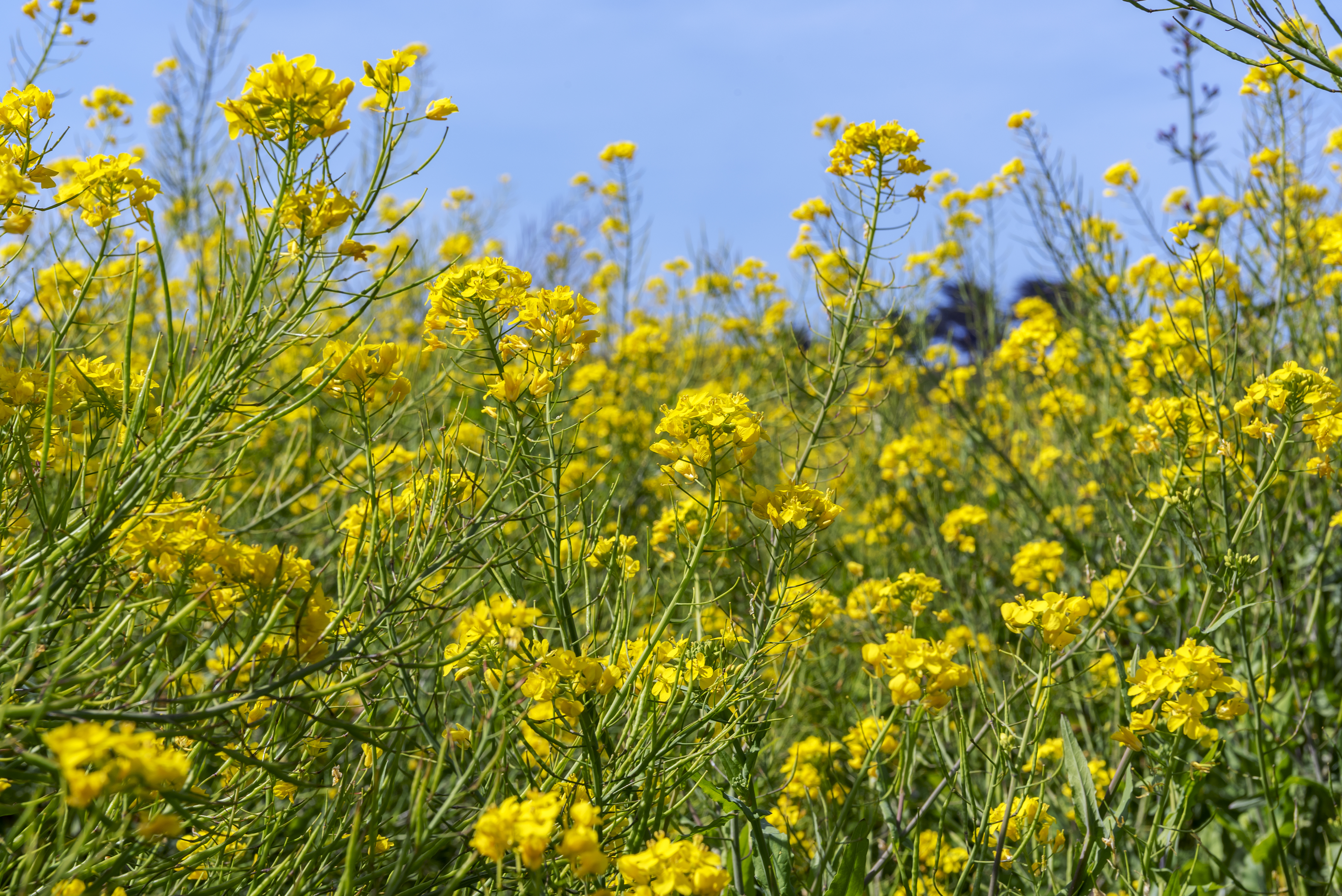
Once the super bloom in southern California started to fade, I turned my sights closer to home, and hit the trails closer to home in central California in search of wildflowers, nature’s beauty and solitude, and adventures.
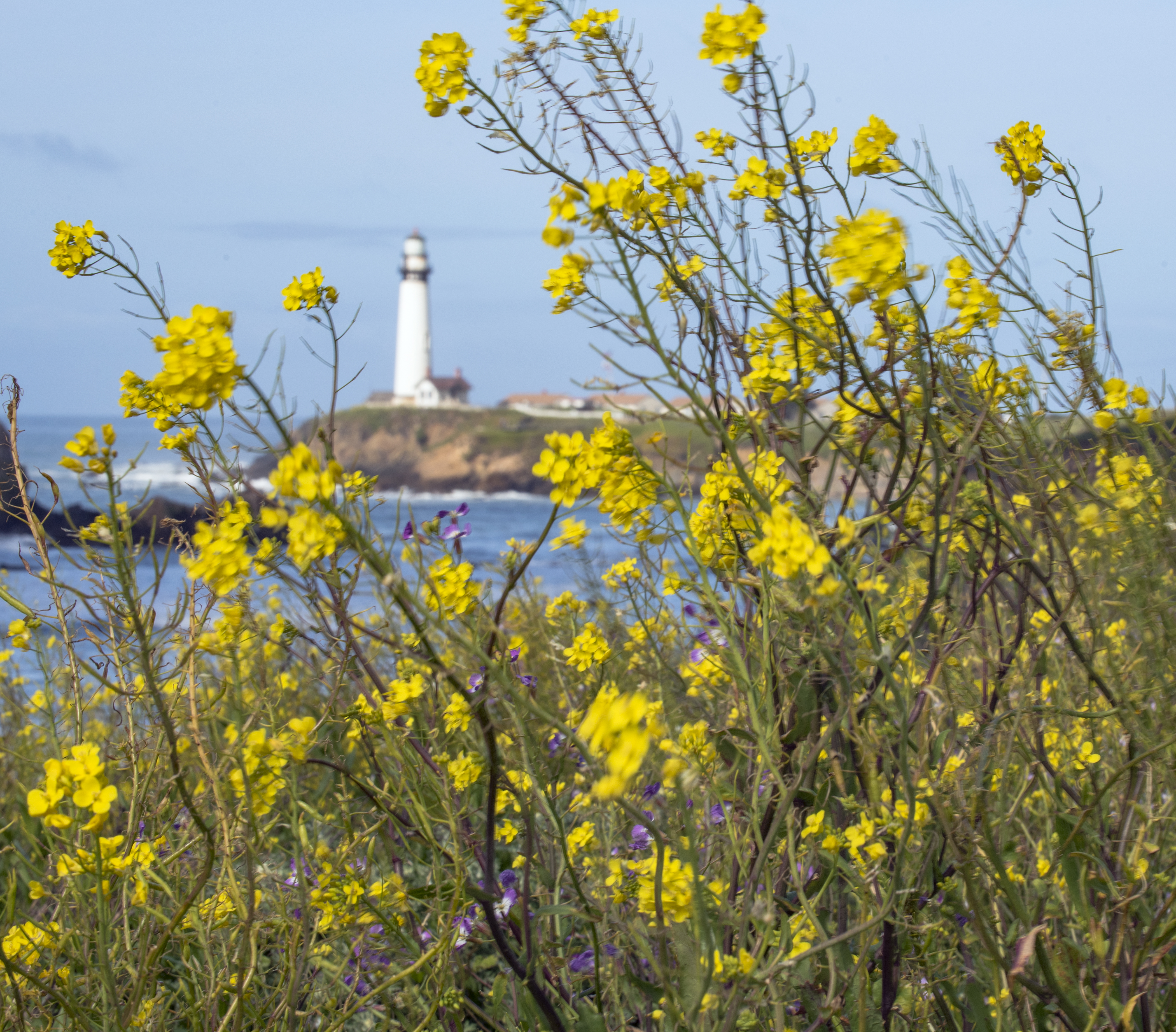
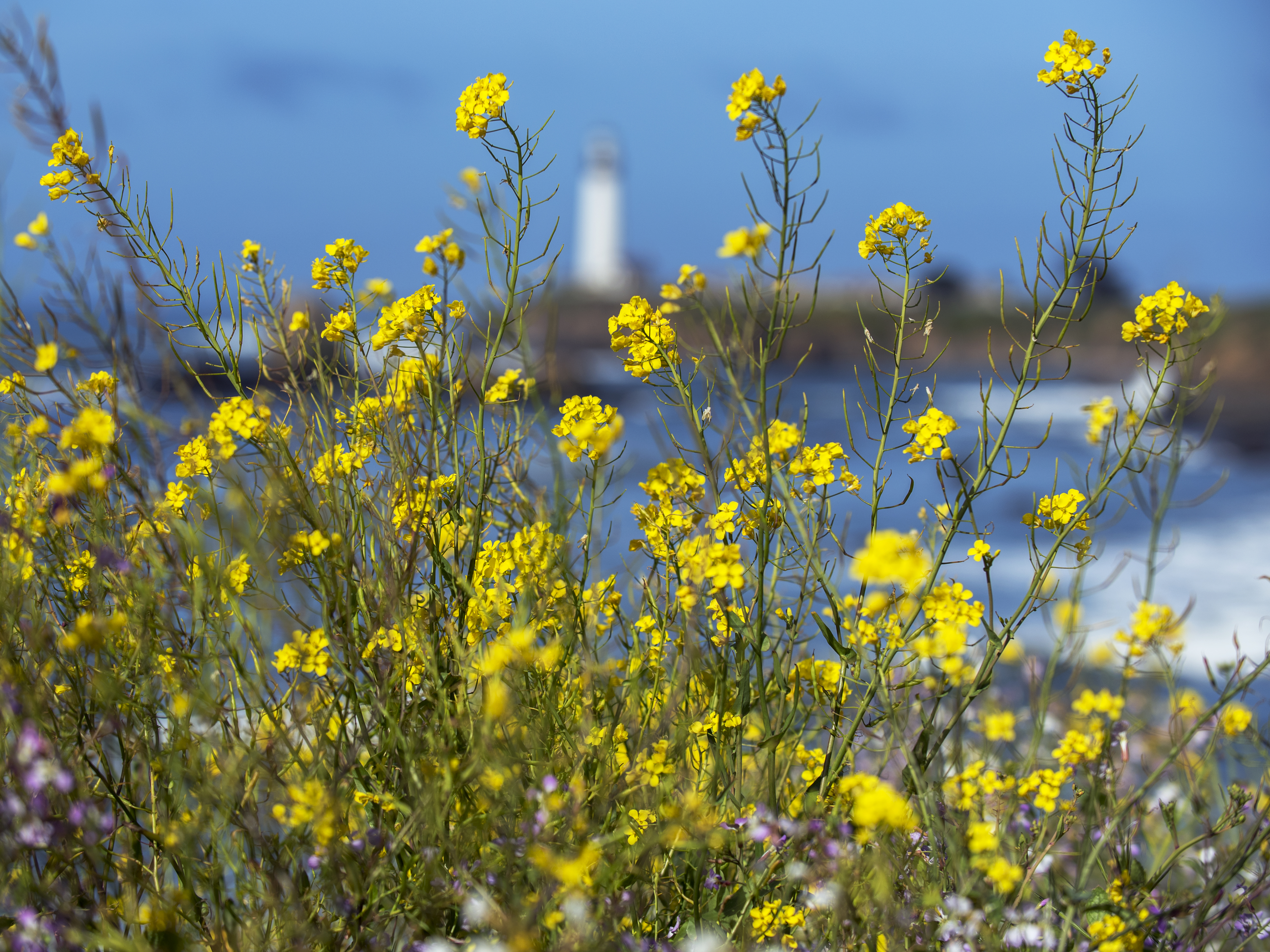
Started with easy pickings right off highway 1, north of Santa Cruz, where the wildflowers are going crazy along the sides of the road and on the coastal terraces.
Here are a few shots from the headlands of the Pigeon Point.
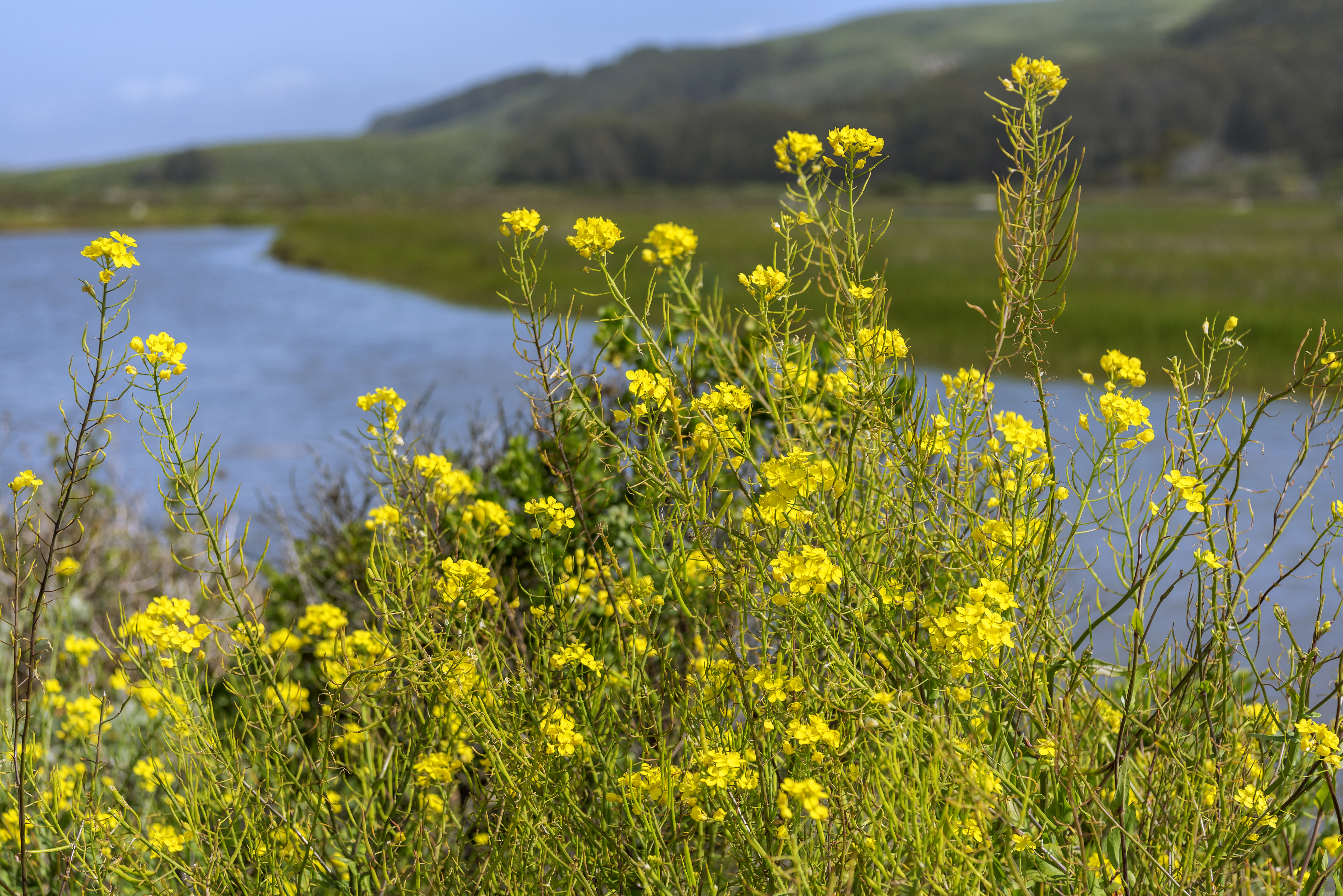
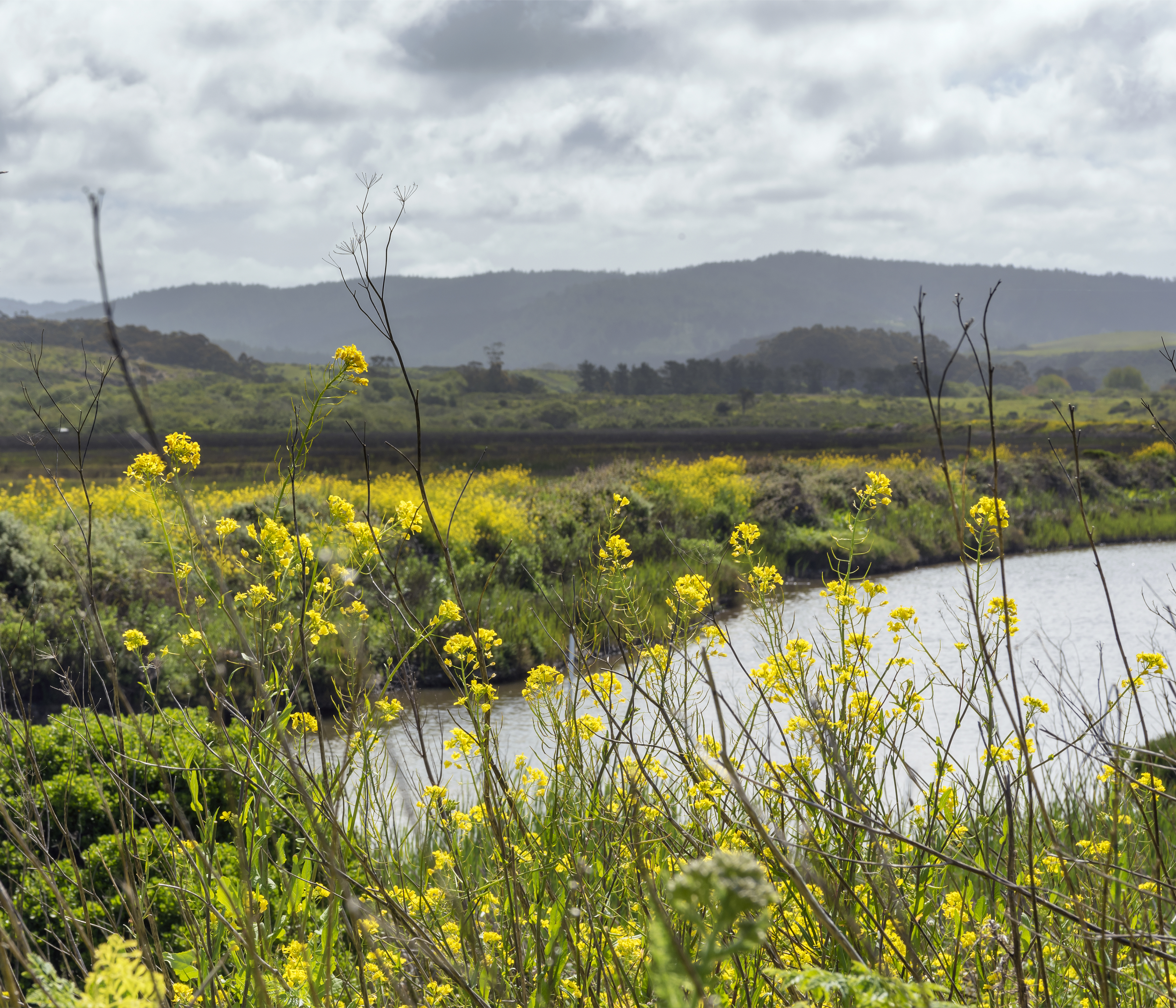
The marsh in Pescadero has so many flowering plants right now, that you can’t really complete the levee trail without a machete!
![]()
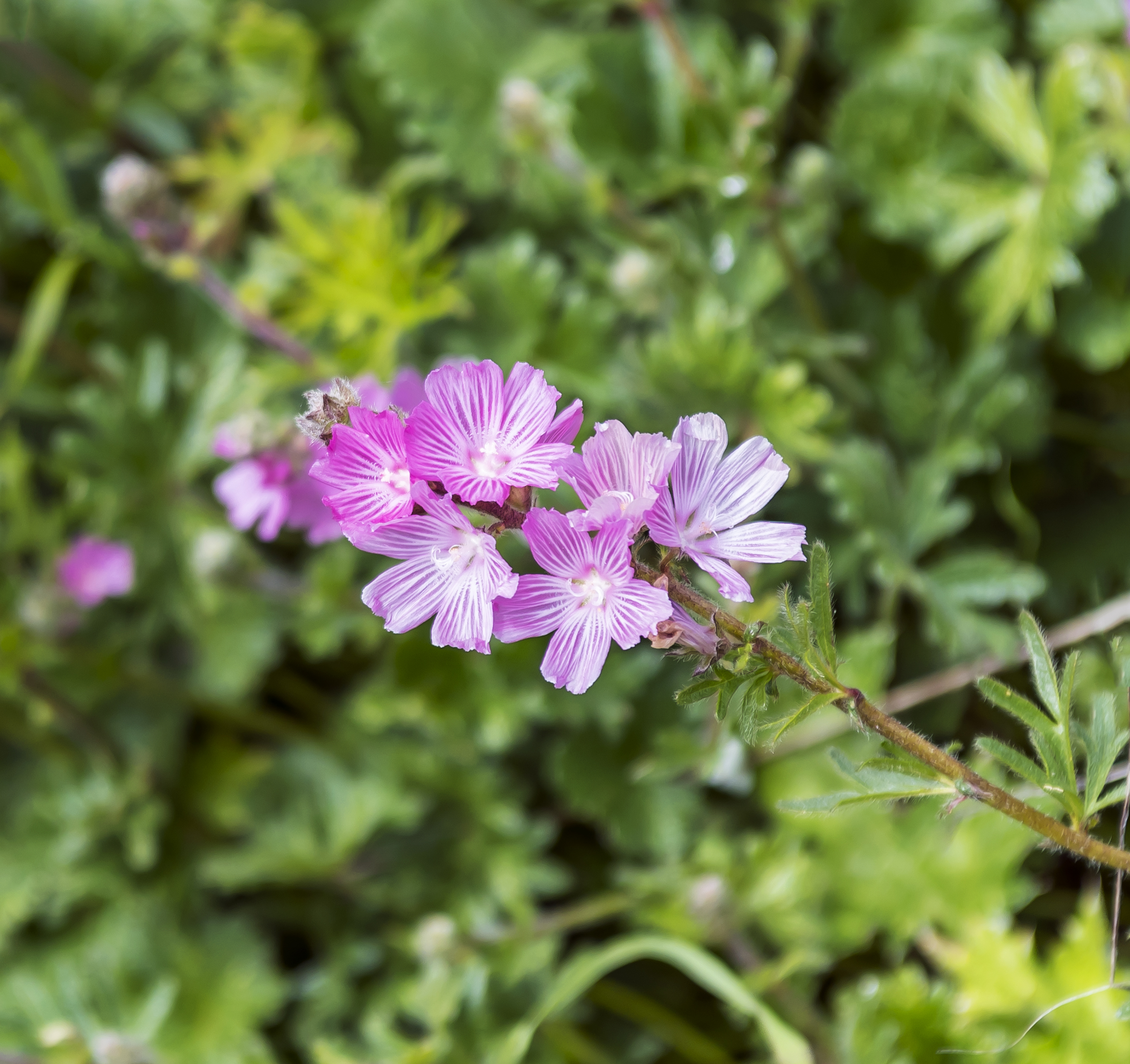
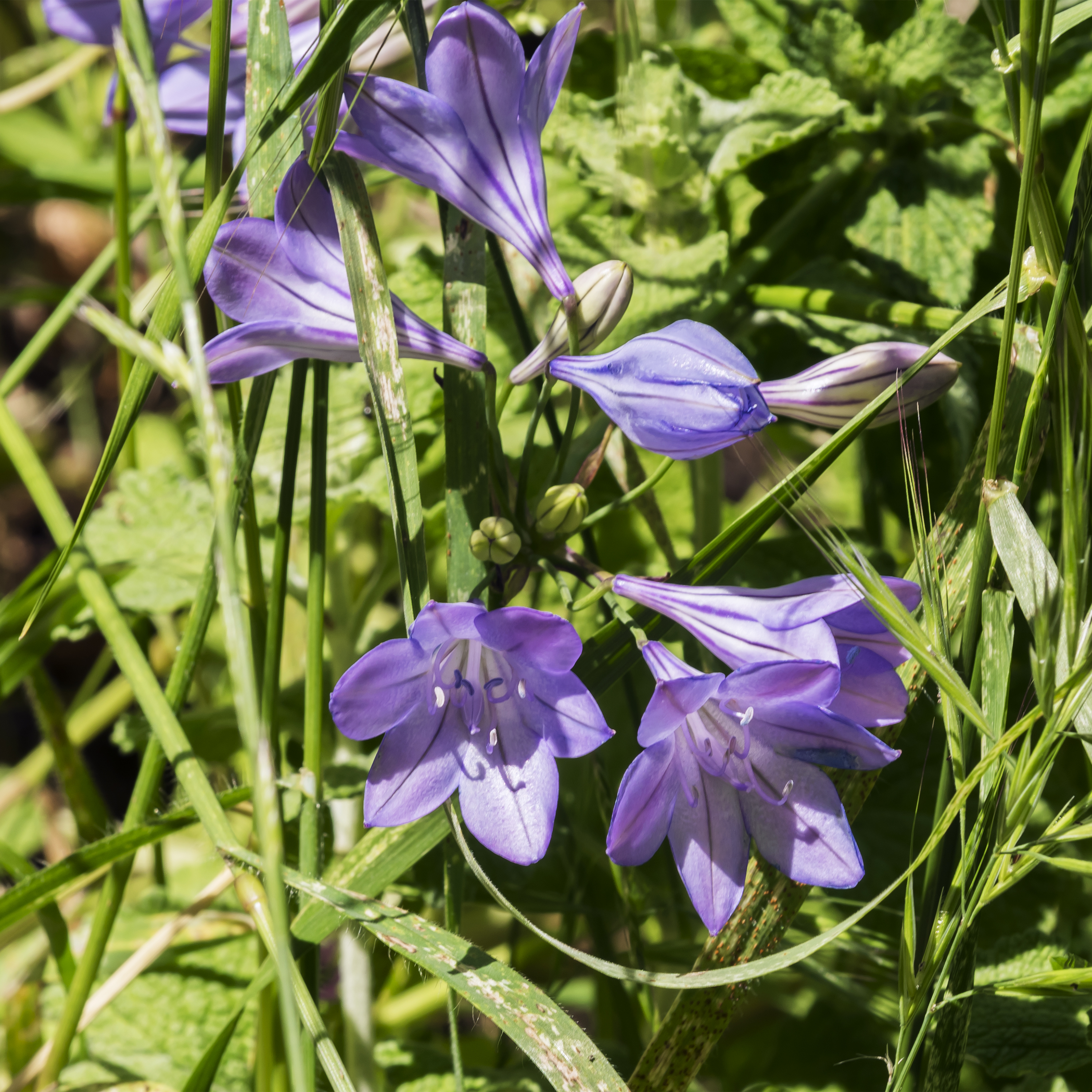
Drove east from Pescadero to the Russian Ridge Open Space, which is bordered by Skyline (Highway 35) on the east and Alpine Road on the south. Plenty of views in this area. To the west one can see the Santa Cruz mountains watersheds heading down to the Pacific; while to the east the view consists of the SF peninsula, down to the bay and across to the east bay cities and foothills. I need to return in different light to catch that shot to the east. Extremely hazy when I was there. While there were no large fields of wildflowers here during my visit, there were flowers scattered everywhere and QUITE a bit of variety. Here are a few pictures.
![]()

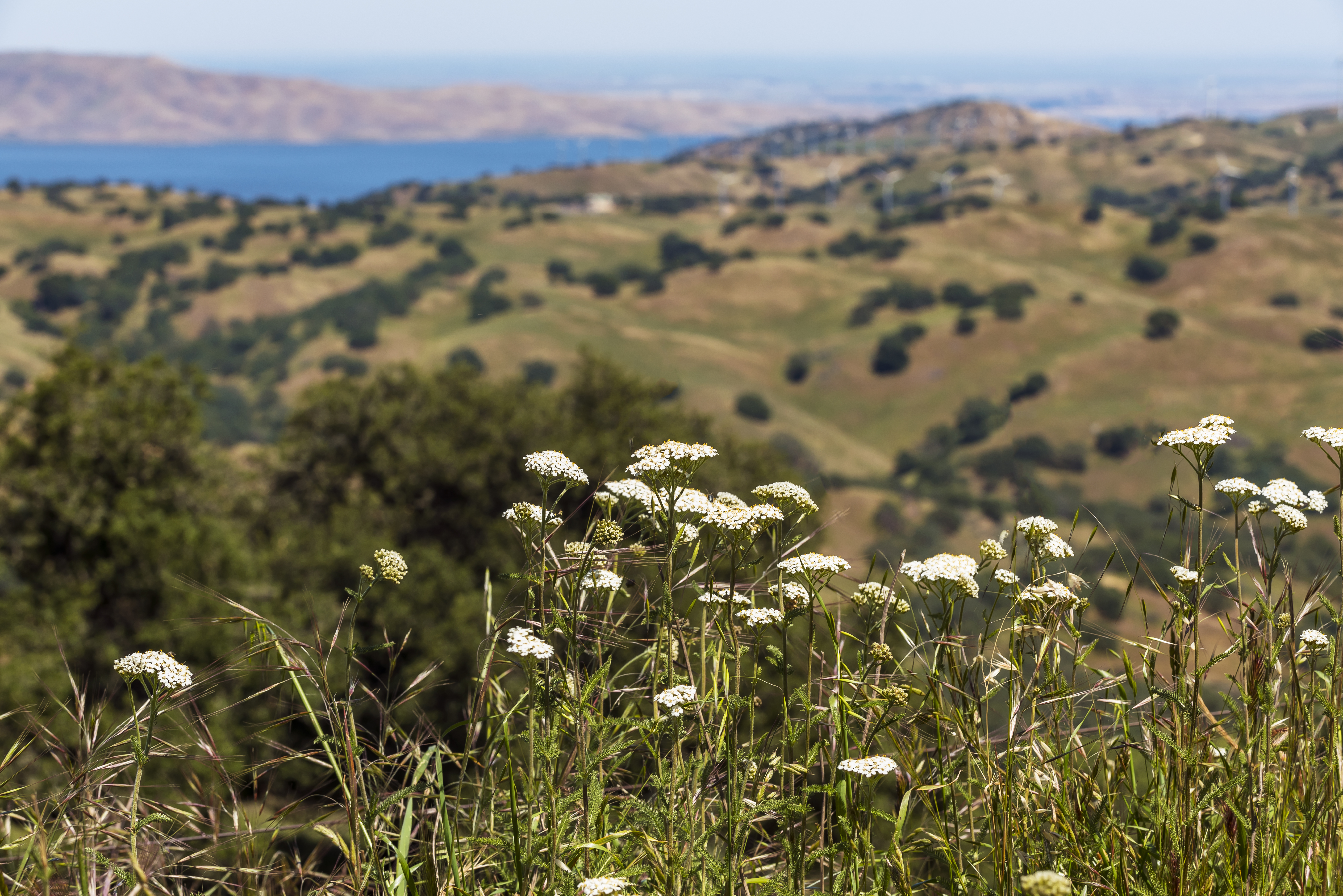
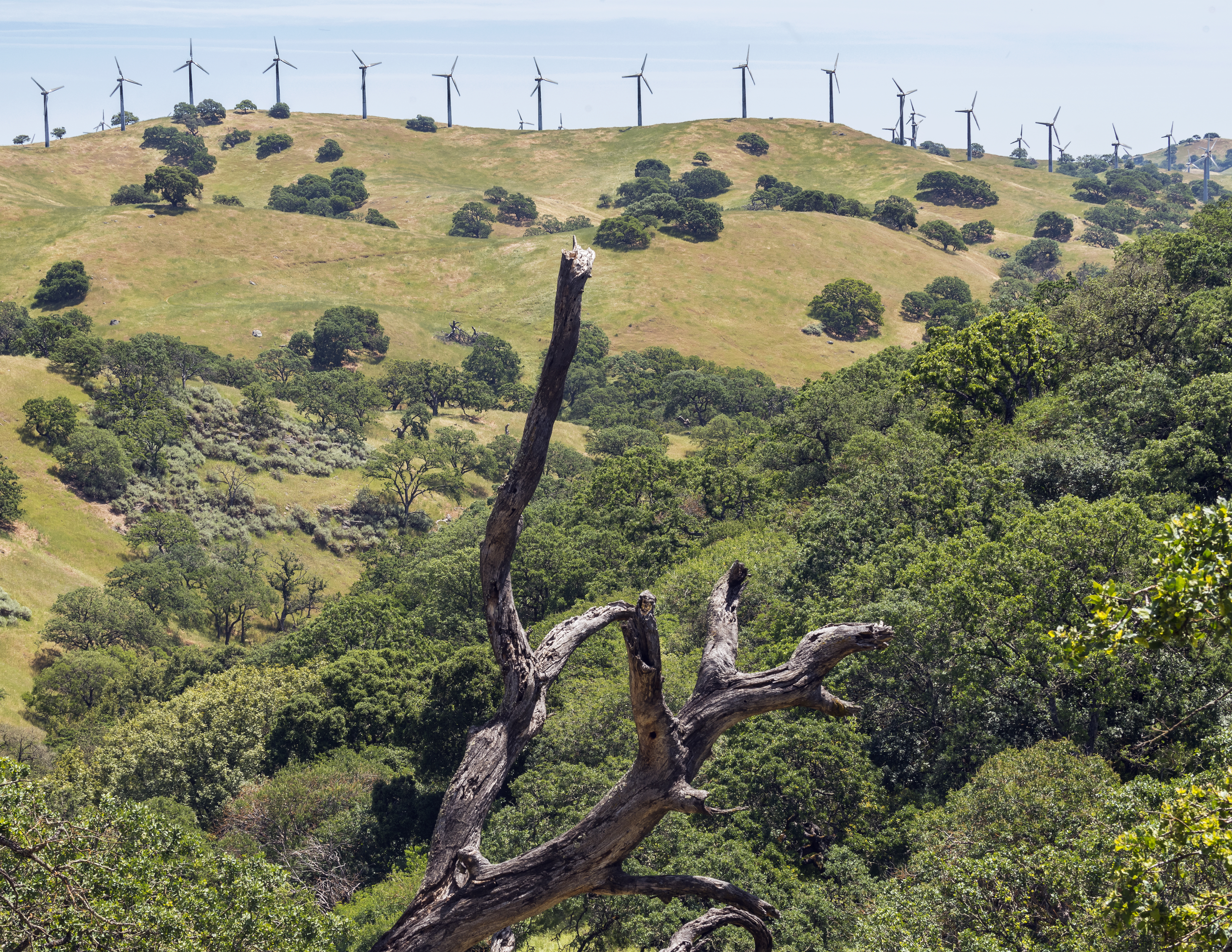
Followed that up by traveling east to the grasslands at Pacheco State Park, which is located near the San Luis Reservoir by I-5. The park is a mix of grasslands and Oak woodlands, two ecosystems that have been almost eliminated in California. This is one of many parks in California with active cattle ranching. Talking to one of the ranchers out on the trail confirmed my suspicion, there are plenty of wildflowers out there but they are mostly being out competed by the native grasses, which of course are beautiful in their own right as they ripple in the wind. Cassidy loved hiking with the cows, they chased squirrels and butterflies together. NOT
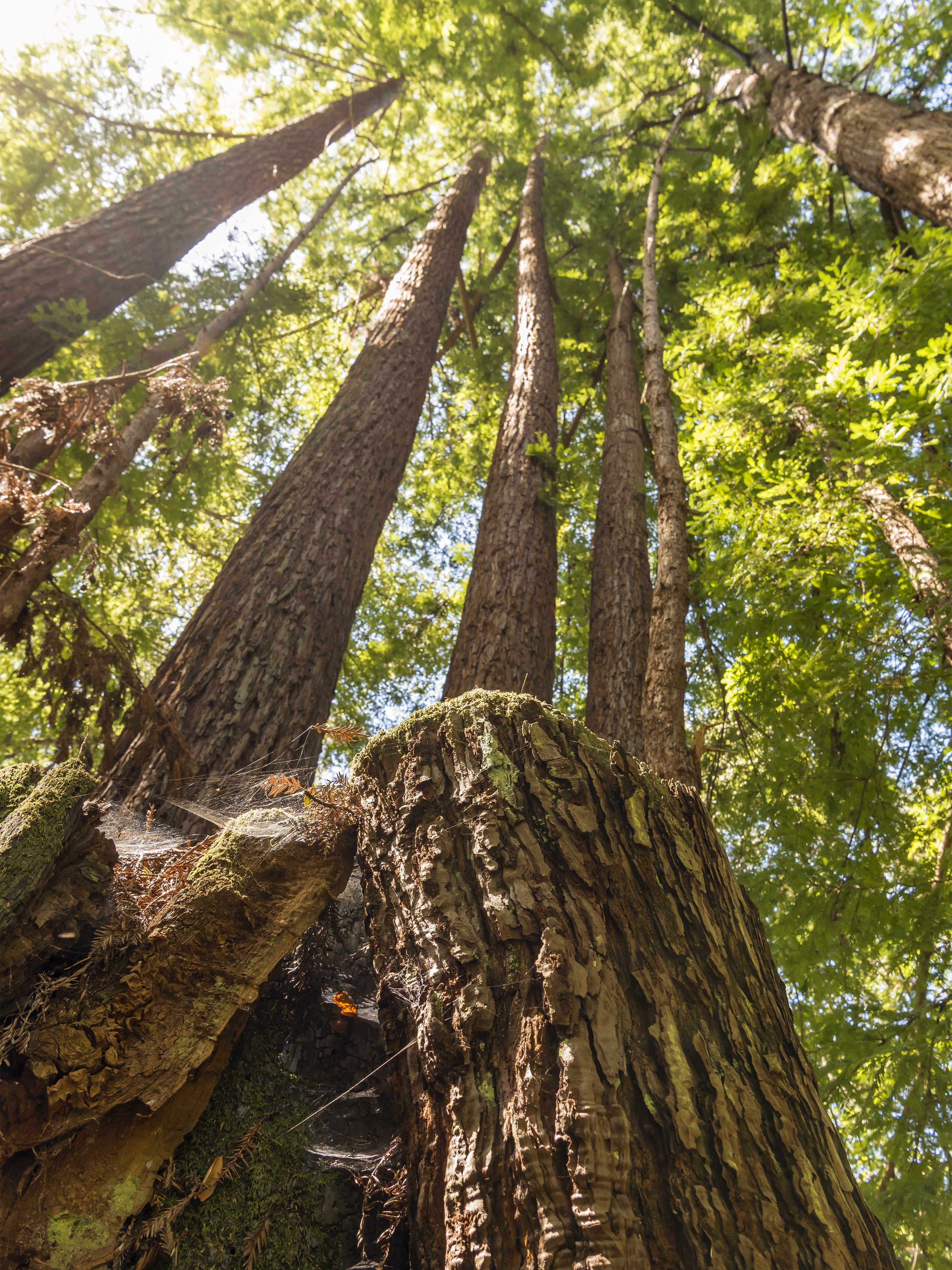
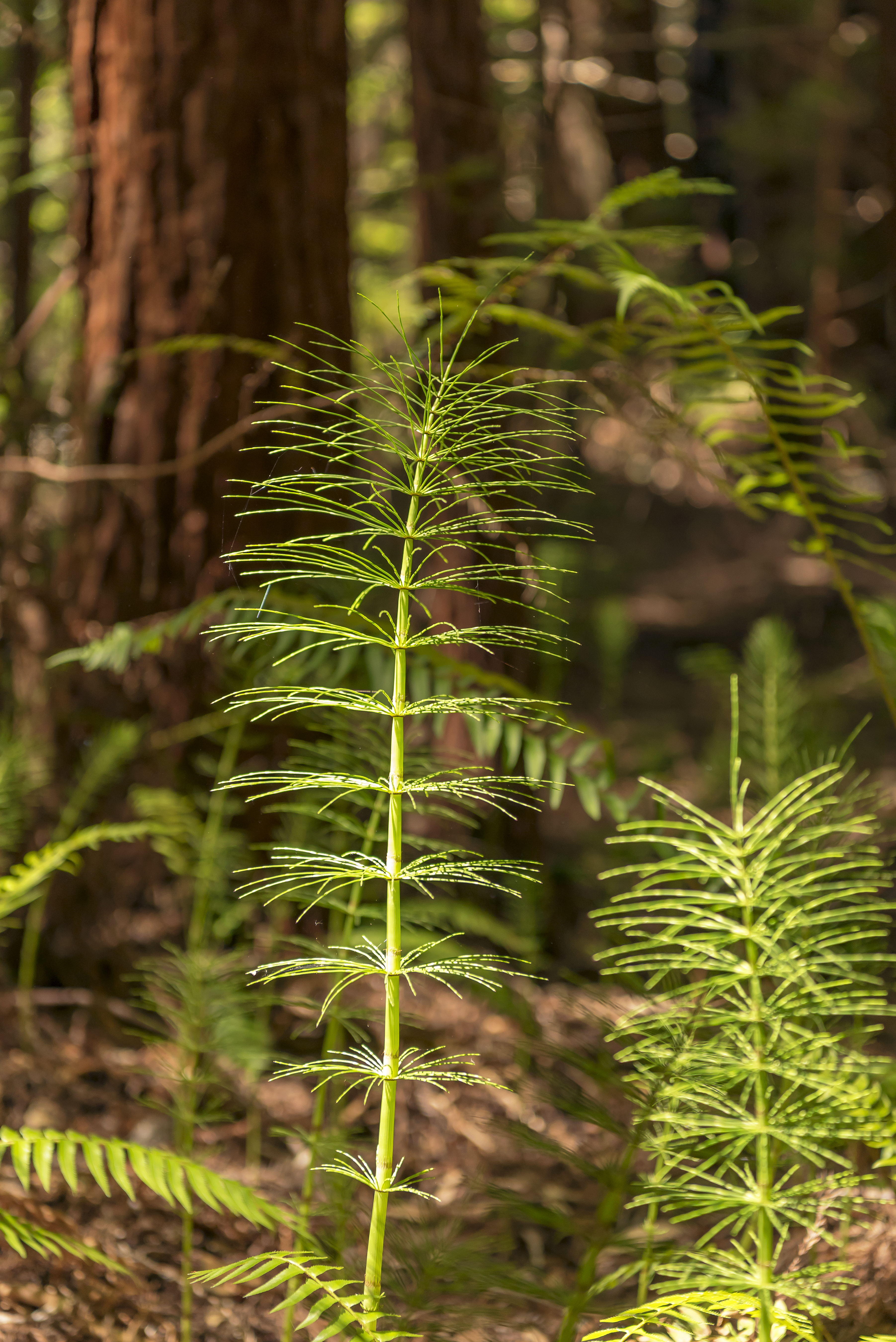
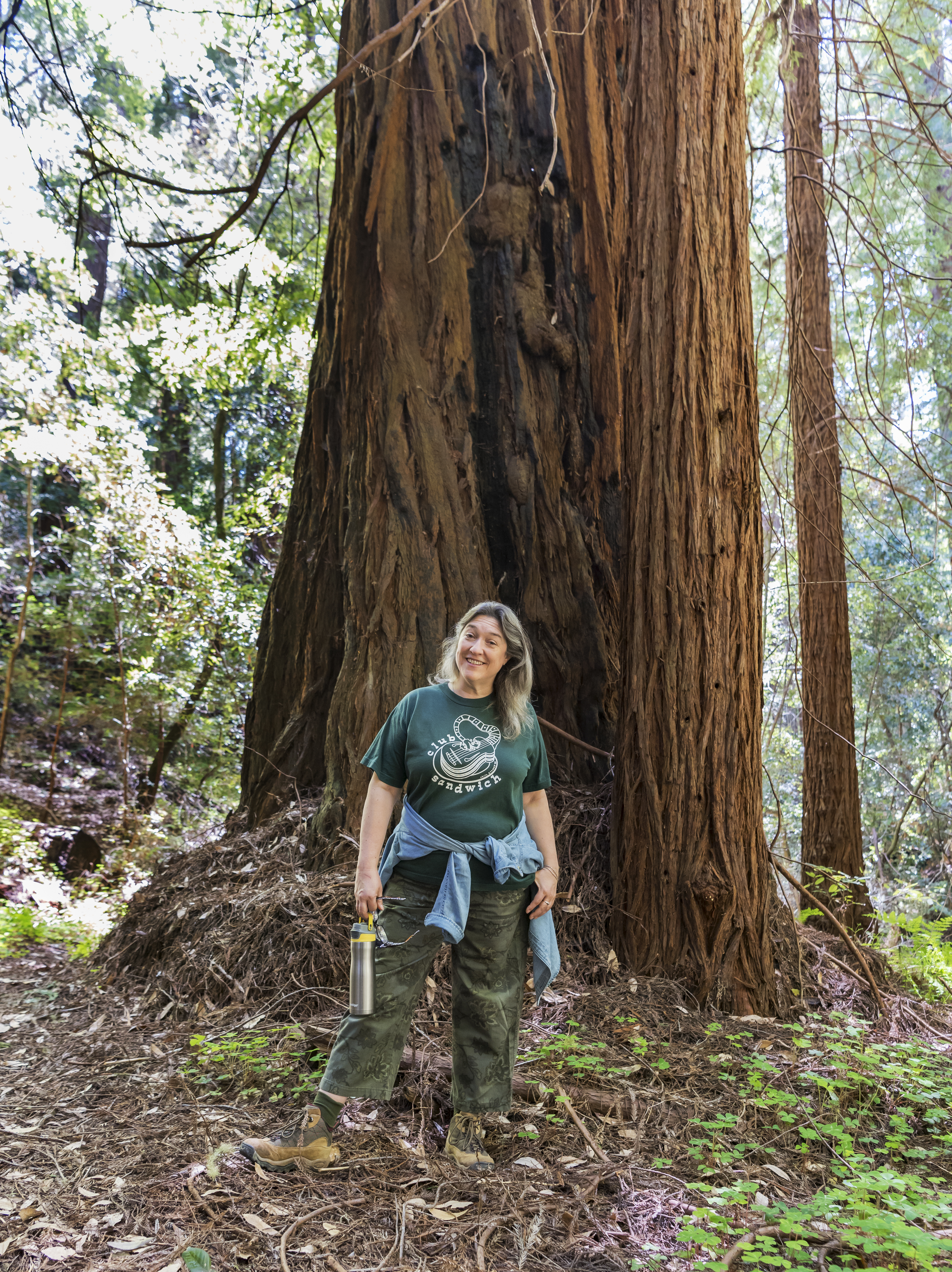
The grasslands were beautiful but the exposed trails drove me back to the redwood covered forests between Pescadero and La Honda. I opted this time to hike a place that had been on my list for awhile, Pescadero Creek County Park. If you read about the park, it will tell you that the only way to enter is to hike in from one of the adjacent parks, Portola Redwoods State Park, Memorial County Park or Sam McDonald County Park EXCEPT that there is also one direct entrance but this requires a drive that would be considered challenging for most people that don’t live in the Santa Cruz mountains. The direct entrance is downhill from the Russian Ridge open space that I mentioned a few hikes back. The entry road is one lane with two way traffic and blind corners, so hopefully it doesn’t get too popular!!
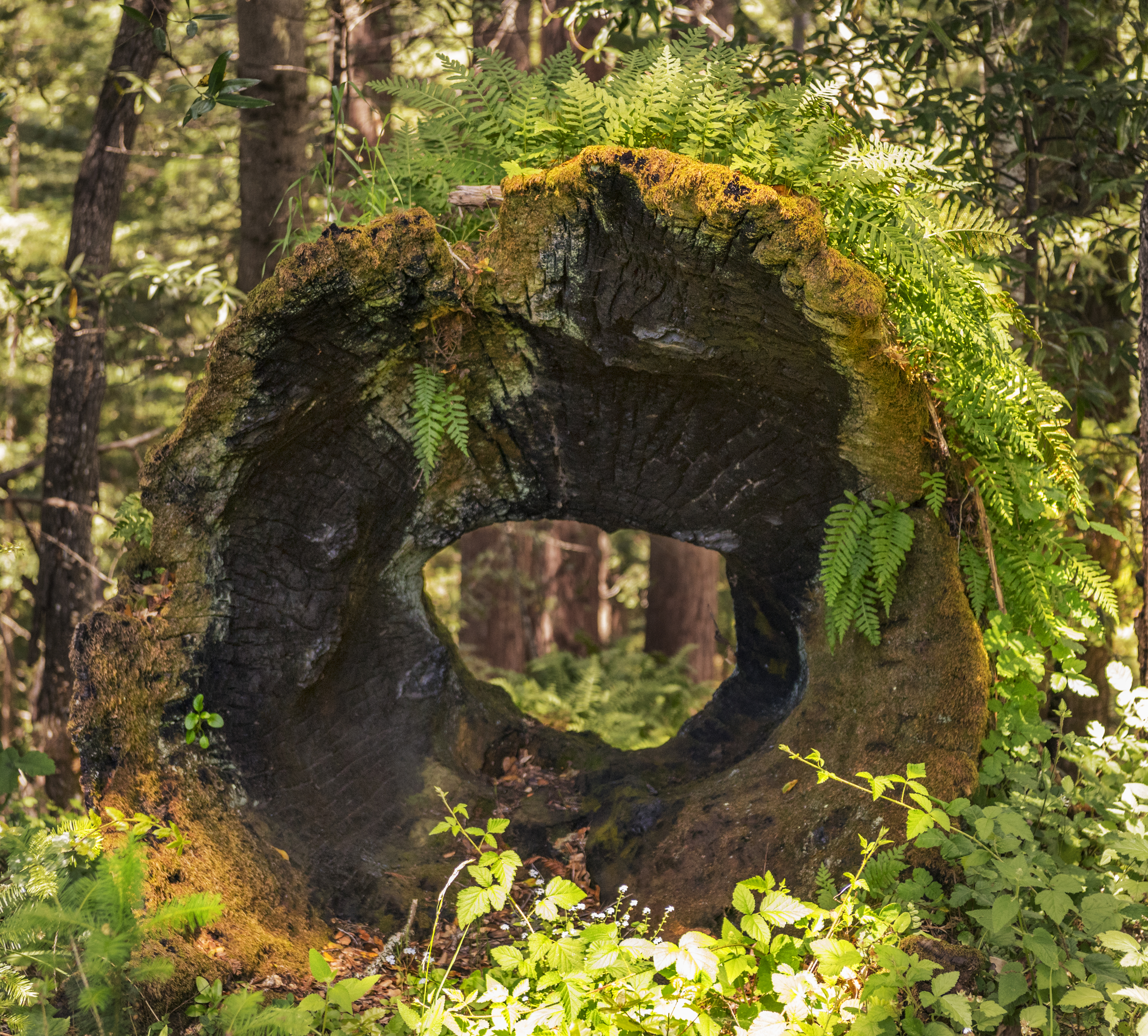
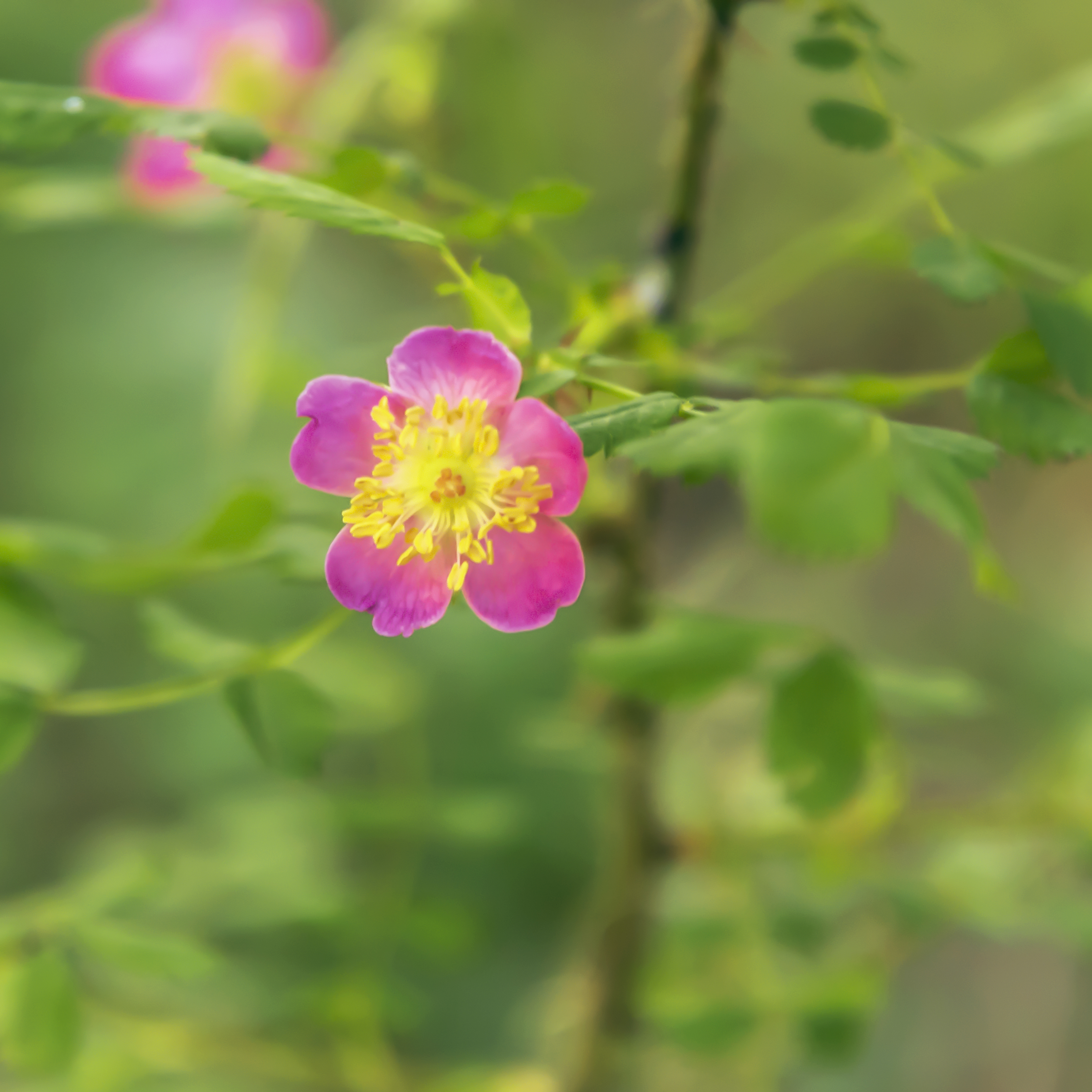
What a nice hike; meadows with flowers, forests including second growth redwoods with huge stumps, a creek, an excellent trail signage/map system, sun, and blessed shade!!! A couple of caveats though, some of the trails are closed due to mudslides, it’s tick season, and most importantly the featured creek in the area is named Tarwater. It has a natural petroleum leak into it. The water has a oily sheen and an odor and forms tarballs. The odor is kind of interesting when mixed with the rich forest smells but kind of spooky when you can smell it on your dogs fur later that day. No pets allowed so I suggest you don’t let your service dogs drink too much of the water. The hair must absorb the smell… Definitely need to explore this area more, it’s quiet! Here are a few pictures.
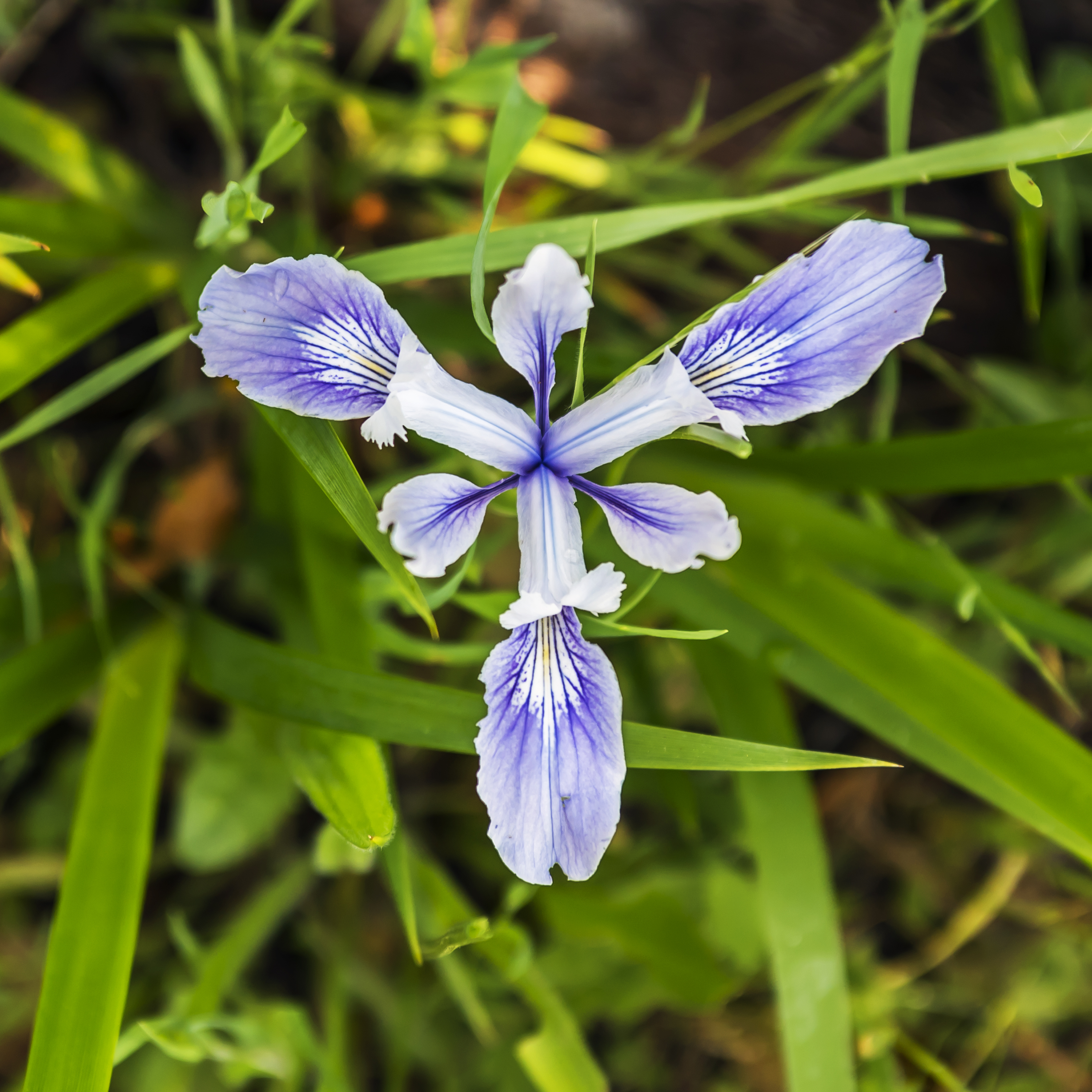
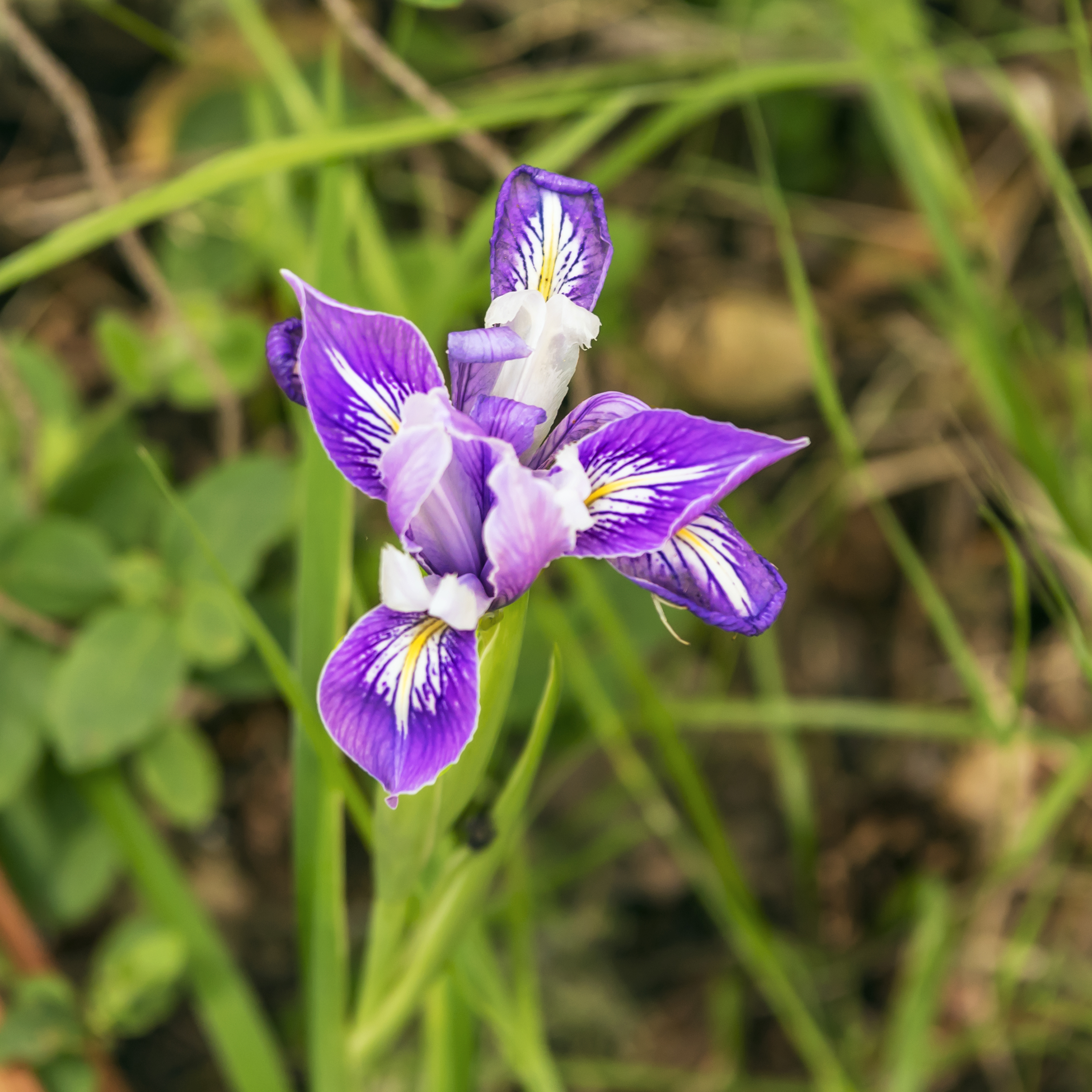
I enjoyed Pescadero Creek County Park so much, I returned to do a loop from the Tarwater trailhead through Portola Redwoods State Park and then back to Pescadero Creek. This time there was not another car at the trailhead today and Cassidy and I only ran into one other group of hikers. At that density of people, I’m happy to run into someone! Less than a week between hikes but the changes were obvious, the creek crossing wasn’t a challenge, and instead of long stretches of mud there were long stretches of parched and cracked dirt. The irises have begun to fade too. Most of the hike is in the shade, which was blessed today in the heat. Once again, a few pictures
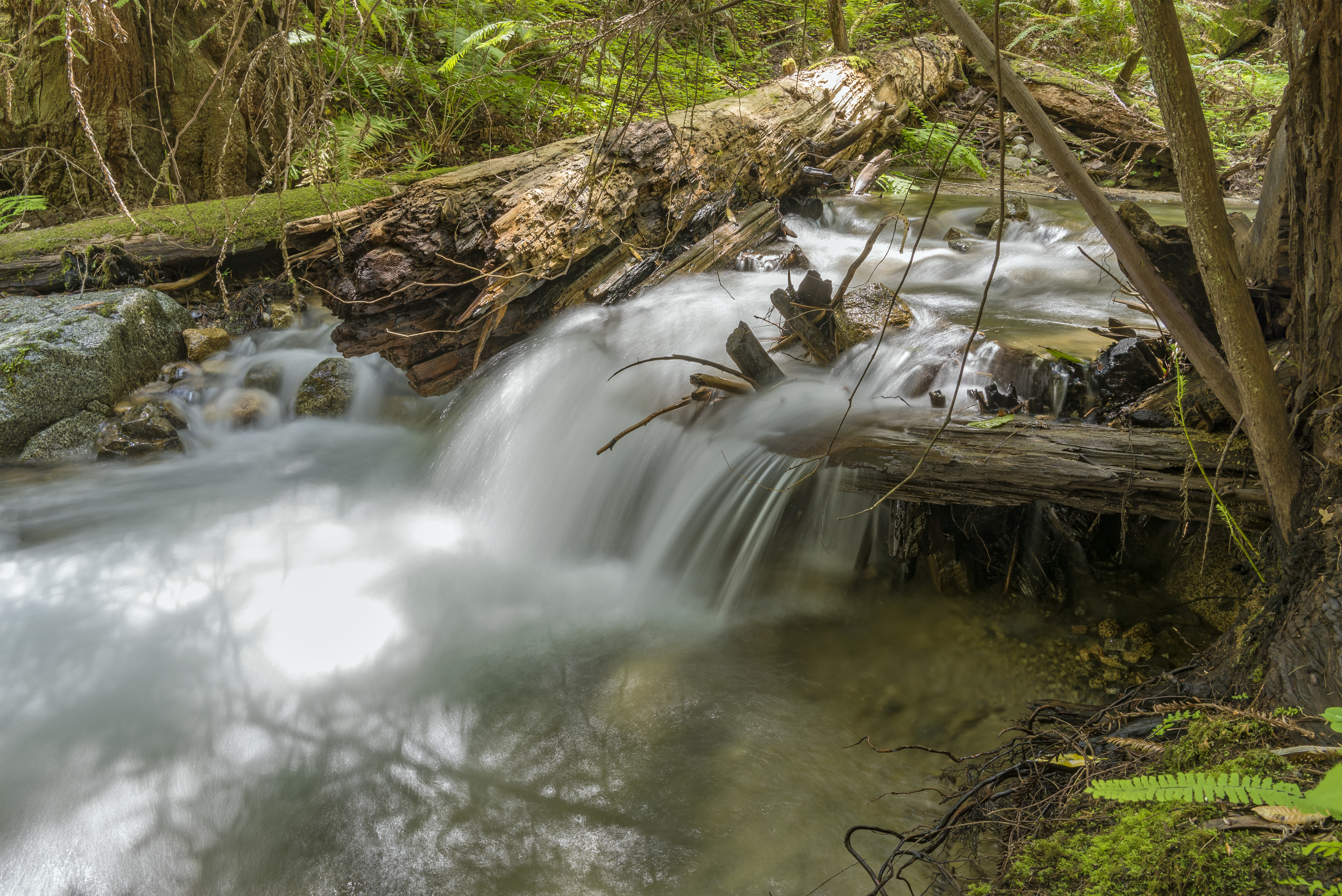
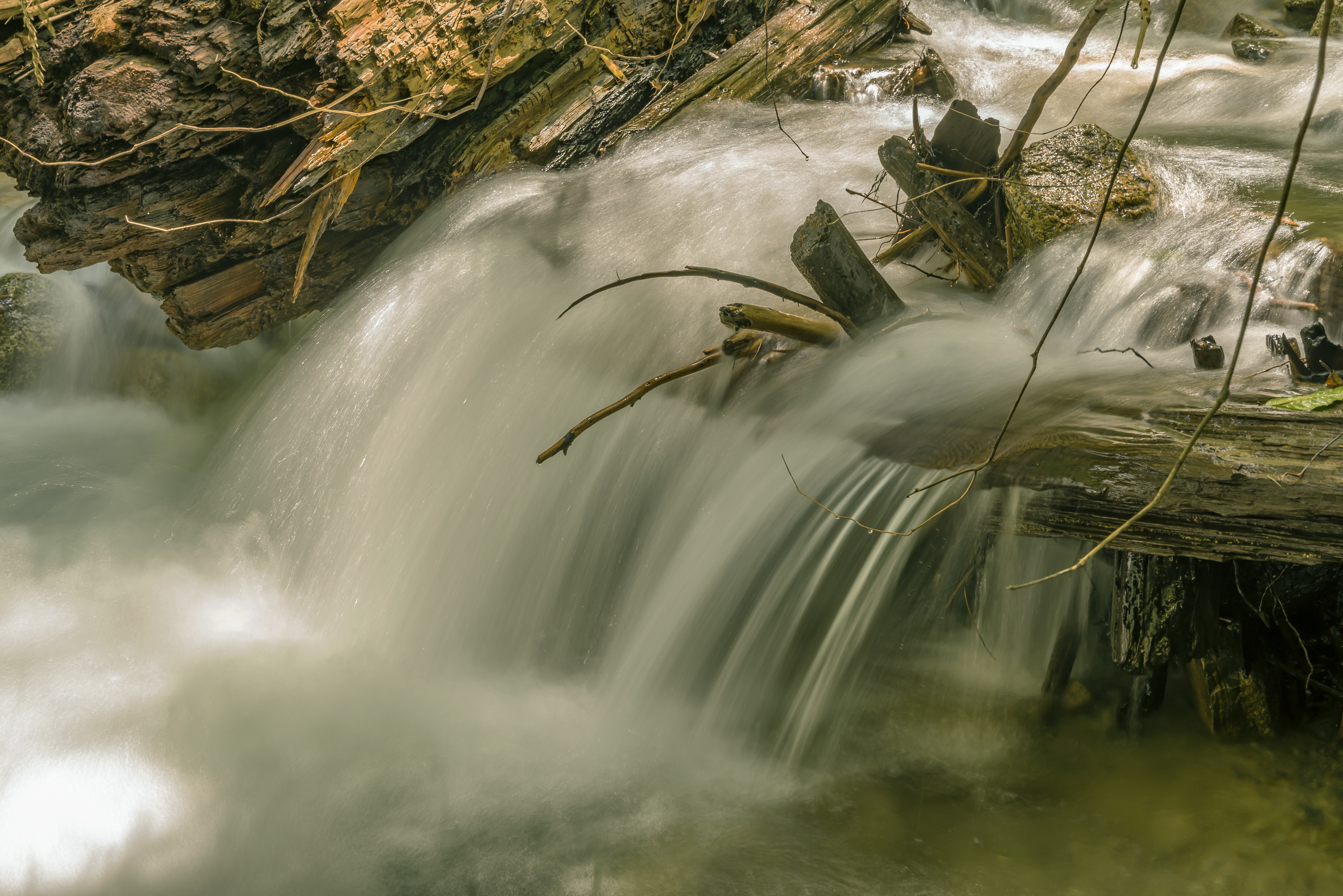
Followed this up with a massive hike through the Fall Creek section of Henry Cowell Redwoods State Park. Made the trip sans camera, so I returned shortly thereafter to make an attempt to photograph Fall Creek. There’s nothing quite like the experience of hiking through a forest next to running water! Talk about a total sensory immersion in nature. As for the photos, I may need to return here and get these a bit closer to exactly right …… or not!
![]()
Found myself off the trails for awhile for personal reasons, and returned to one of Cassidys’ favorites, Garland Ranch, where we hiked up Snively’s Ridge, and from there finally made the ascent of Pinyon Peak. The climb up Snively’s is invigorating, but the final ascent up Pinyon Peak to the fire station is flat out challenging, and the descent a bit dangerous. Looped back through a part of the park I’d never seen before.
After climbing partway up Snivley’s Ridge, this view opened up of the meadow leading down to Carmel valley.
Here is a shot from somewhere along the top of Snively’s Ridge, you can see Carmel Valley down below and the ridge to the north on the far side.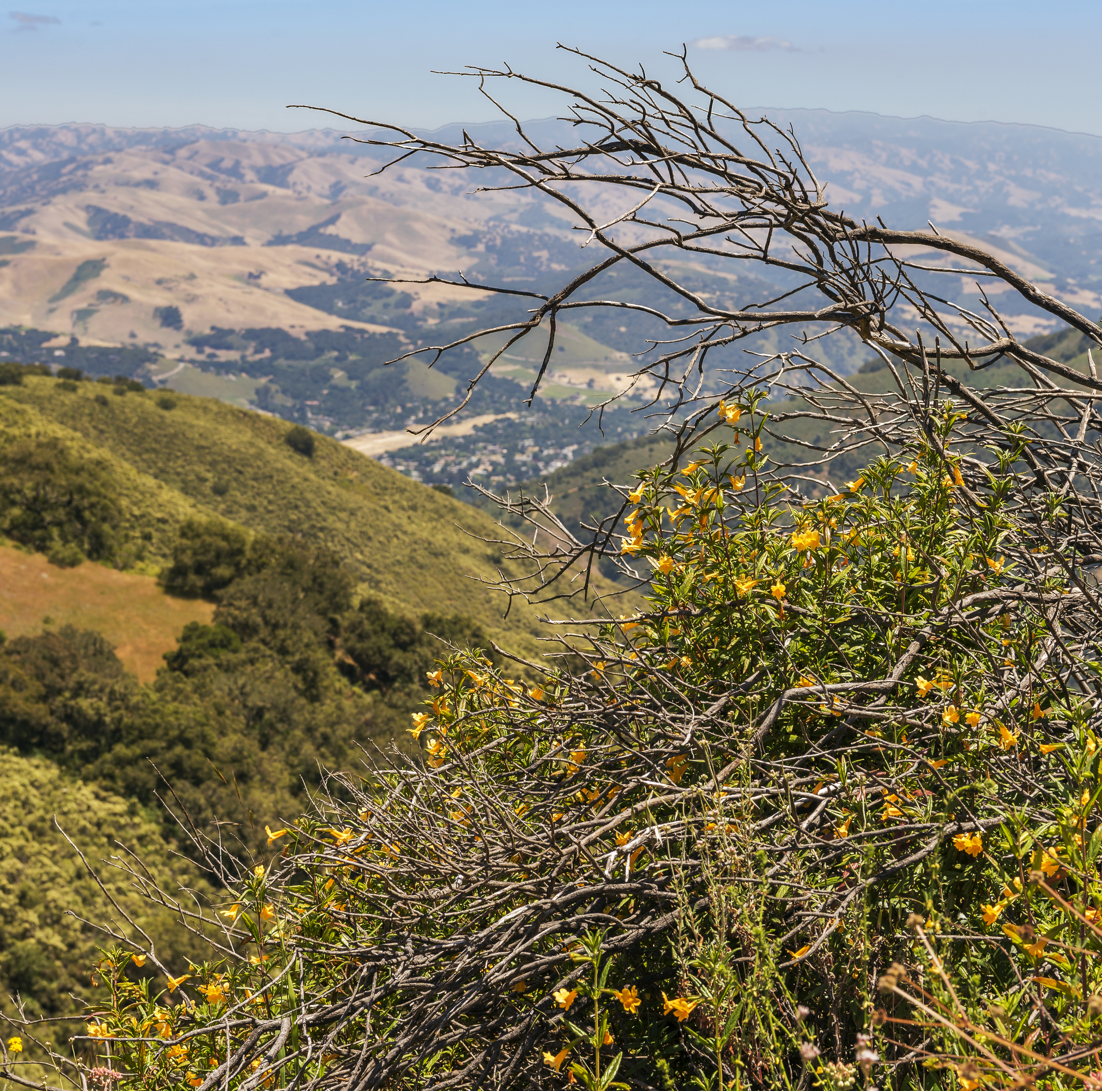
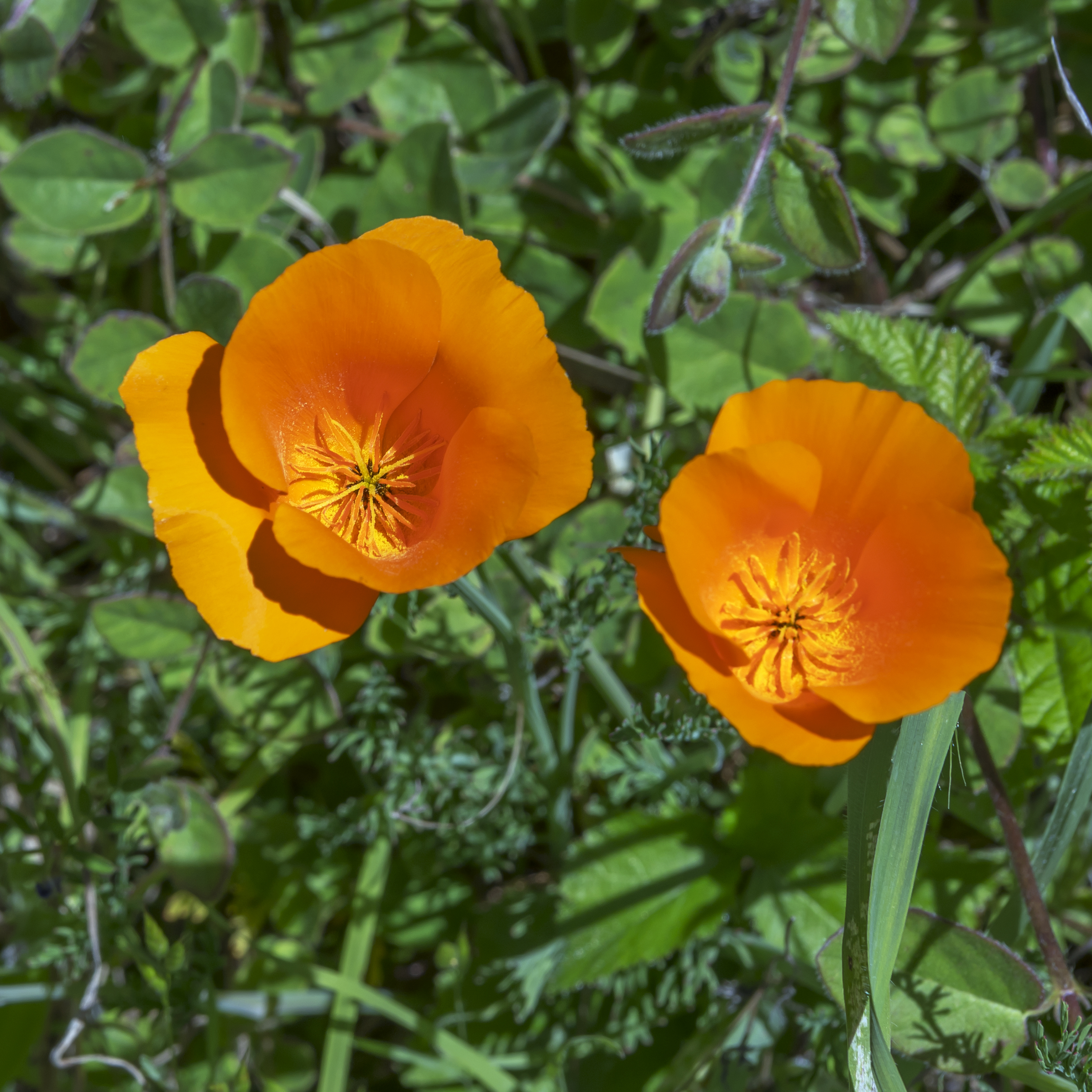
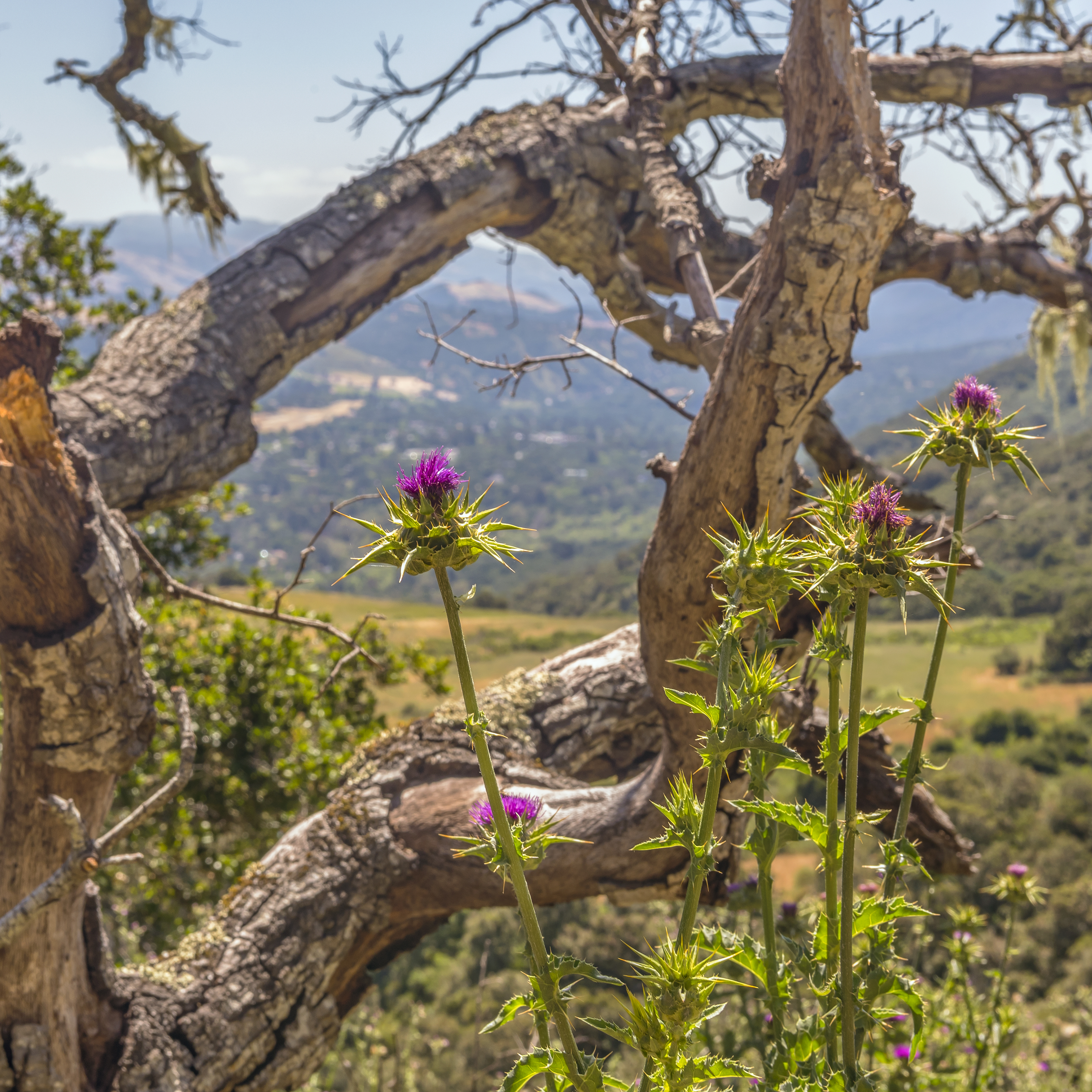
The next two shots were taken while climbing from Snively’s Ridge up to the Pinyon Peak fire lookout tower. The wildflower’s were still in full bloom up above 2,000 feet!!!
![]()
![]()
One Comment
Beautiful photos. Magic close to home.